Re-linking Missing Layer Files
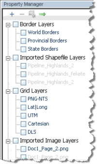
When a layer file is added to a Harmony project, the content is referenced using a link to a directory path (it is not copied to the project file). If the file is moved to a new location, this will invalidate the directory path that was previously saved. This most commonly occurs when files are shared between users, or when files are re-organized. When the directory path for a layer is invalid, its name will be grayed-out (and unusable).
When Harmony is opened, if you have an invalid directory path, the Locate Missing GIS Shape or Image Files dialog box is displayed. This dialog box displays all missing layer files with their current invalid directories.
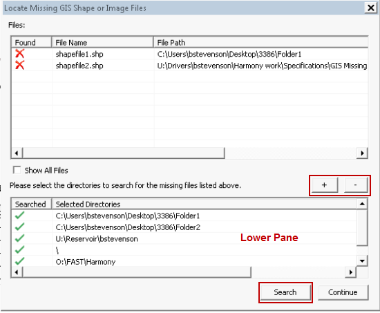
1. Click the + button (in the Locate Missing GIS Shape or Image Files dialog box) to designate search directories where Harmony will search for missing files. (By default, Harmony searches subdirectories as well.)
The list of selected search directories will be displayed in the lower pane. To remove a directory from the search, click the – button, and the directory will be removed from the list.
2. Click the Search button. Harmony searches for all files in the upper pane with an X.
If a missing file is found after the search, a checkmark will be displayed by its filename, and the directory path will be updated.
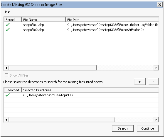
Note: Any directory that has been searched and has a checkmark will be saved in memory for future use.